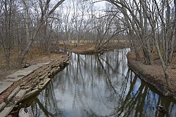
St. Joseph River (Maumee River tributary)
At the end of the Wisconsin glaciation, the glacier's Erie Lobe retreated toward the northeast, leaving large debris deposits called moraines.
Later, the shrinkage of Glacial Lake Maumee, the ancestor of modern Lake Erie, brought about the opening of the modern Maumee River, which captured the flow of the St. Joseph and the St. Marys, causing the St. Marys to reverse its course to meet the flow of the St. Joseph almost head-on.
The St. Joseph River forms in northern Williams County, Ohio, at the confluence of the East and West branches at 41°38′54″N 84°33′55″W / 41.64833°N 84.56528°W / 41.64833; -84.56528.
The headwaters of the East Branch are within 3 miles (4.8 km) of those of the St. Joseph River of Lake Michigan.
[6] The US Army Corps of Engineers built a flood control project in Fort Wayne that includes a floodwall and upper roadway along the St. Joseph River.