Tessera (Venus)
[1] Tesserae often represent the oldest material at any given location and are among the most tectonically deformed terrains on Venus's surface.
[4] Multiple models of tessera formation exist and further extensive studies of Venus's surface are necessary to fully understand this complex terrain.
"[5][6] The most recent data concerning tessera terrain comes from the Magellan Mission, in which the majority of Venus's surface was mapped in high resolution (~100 m/pixel).
Tesserae are recognized as covering 7.3% of Venus's surface, approximately 3.32×10⁷ square kilometres (1.28×10⁷ sq mi), and occur mostly within a few extensive provinces.
[9] It was thought by many researches that the tesserae might form a global "onion skin" of sorts, and extended beneath Venus's regional plains.
In the pulsating continents model, differentiated, low density crust survives early global subduction events forming continental regions.
These regions undergo compression due to heating from the surrounding mantle, forming the compressional features of tessera, such as fold and thrust belts, and basin dome terrain.
After sufficient crustal thickening has occurred, new lithosphere is generated causing gravitational collapse, producing the extensional features of tessera, such as extensive grabens.
During this collapse, decompression causes partial melting, producing the intratessera volcanism seen within the larger regions of tessera terrain.
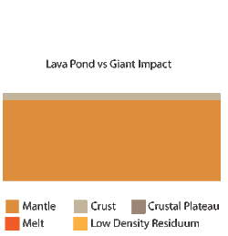
[9] This model does not currently explain how a global subduction event could cause the delamination of the entire mantle lithosphere, leaving only low density crust behind.
Individual patterns of tessera terrain record the variations in interactions of the mantle with local regional stresses.
[17] Star Terrain is composed of multiple graben and fractures that trend in many directions, but radiate in a star-like pattern.