Timeline of the 2013 Pacific hurricane season

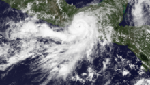
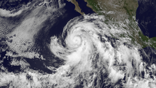
The 2013 Pacific hurricane season was an above-average year in which twenty named storms developed.

[nb 2] These dates conventionally delimit the period during each year when most tropical cyclones form.

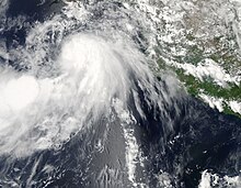
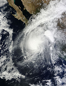
[nb 3] The most significant storm, in terms of loss of life and damage, was Hurricane Manuel.

Forming in mid-September, Manuel attained its peak as a minimal Category 1 hurricane before moving ashore on the coastline of Mexico.

This timeline documents tropical cyclone formations, strengthening, weakening, landfalls, extratropical transitions, and dissipations during the season.

A map depicting the track of Alvin, the first named storm of the 2013 Pacific hurricane season.
Storm path of Tropical Storm Alvin
A visible satellite image of a well-formed hurricane approaching the coastline of southeastern Mexico on May 29.
Hurricane Barbara near landfall on May 29
A visible satellite image depicting sprawling Hurricane Cosme on June 25.
Cosme as a Category 1 hurricane on June 25
A visible satellite image of a small yet well-developed hurricane in the open East Pacific on July 2.
Hurricane Dalila at peak intensity on July 2
A visible satellite image of a disorganized and large hurricane just offshore southwestern Mexico on July 6.
Hurricane Erick offshore southwestern Mexico on July 6
A visible satellite image depicting a degenerating tropical cyclone offshore Hawaii on July 29.
Tropical Storm Flossie offshore Hawaii on July 29
A map depicting the track of a short-lived hurricane in early August.
Storm path of Hurricane Gil
A visible satellite image of Hurricane Henriette at peak intensity on August 8.
Hurricane Henriette at peak intensity on August 8
A visible satellite image of an organized tropical storm over the Central Pacific on August 17
Tropical Storm Pewa over the Central Pacific on August 17
A visible satellite image of a disorganized tropical storm south of Baja California on August 23.
Tropical Storm Ivo south of Baja California on August 23
A visible satellite image of a tropical storm approaching hurricane intensity on August 31.
Tropical Storm Kiko near hurricane status on August 31
A map depicting the track of a tropical storm that paralleled the coastline of Mexico in early September.
Storm path of Tropical Storm Lorena
A visible satellite image of Tropical Storm Manuel approaching hurricane intensity just offshore southwestern Mexico on September 18.
Tropical Storm Manuel near hurricane intensity on September 18
A visible satellite image depicting a small tropical storm well away from land on October 8.
Tropical Storm Narda on October 8
A map depicting the track of a landfalling tropical storm in mid-October.
Storm path of Tropical Storm Octave
A visible satellite image showing a poorly-organized tropical storm, with its center of circulation exposed, on October 14.
Tropical Storm Priscilla near peak intensity on October 14
A visible satellite image showing the only major hurricane of the 2013 Pacific hurricane season on October 21.
Raymond as a major hurricane on October 21
A visible satellite image showing the final tropical cyclone of the 2013 Pacific hurricane season a day before landfall.
Tropical Storm Sonia at peak intensity on November 3