Tryal Rocks
The Brouwer Route drastically shortened voyage times by keeping ships sailing eastwards in the Roaring Forties for as long as possible before turning north.
The captain of the Tryall, John Brookes, grossly underestimated the longitude of the ship, and ended up around 1,000 kilometres (620 miles) farther east than the route specified.
[3] Concerned for the threat to their own ships, the Dutch placed the reef on their charts, but "exactly south of the western extremity of Java according to the statements made by the English sailors".
The first known appearance of the Tryal Rocks on a map was in 1627, when Hessel Gerritsz published his Caert van't Landt van d'Eendracht ("Chart of the Land of Eendracht").
[3] Sickness prevented William Dampier from searching for the rocks in 1700; on 11 June of that year he wrote: "I kept on my course to the westward till the 15th, and then altered it.
My design was to seek for the Tryal Rocks; but, having been sick 5 or 6 days without any fresh provision or other good nourishment aboard, and seeing no likelihood of my recovery, I rather chose to go to some port in time than to beat here any longer.
[8] Admiralty Sailing Directions of 1917 further claimed that "Tryal Rocks awash at high water are near the outer edge of the S.W.
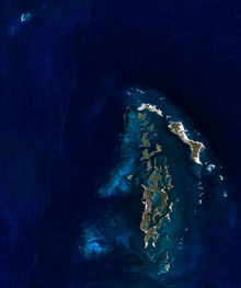
[3] In 1928, Commander Rupert Gould made a survey of the area and declared that Ritchie Reef was definitely the Tryal Rocks.