Two-point equidistant projection
In this two-point form, two locus points are chosen by the mapmaker to configure the projection.
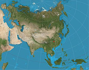
[3] The projection has been used for all maps of the Asian continent by the National Geographic Society atlases since 1959,[4] though its purpose in that case was to reduce distortion throughout Asia rather than to measure from the two loci.
The Chamberlin trimetric projection is a logical extension of the two-point idea to three points, but the three-point case only yields a sort of minimum error for distances from the three loci, rather than yielding correct distances.
Tobler extended this idea to arbitrarily large number of loci by using automated root-mean-square minimization techniques rather than using closed-form formulae.
[6] The projection can be generalized to an ellipsoid of revolution by using geodesic distance.