Altai flood
[1] In the 1980s, Russian geologists discovered large deposits created through similar catastrophic outbursts of Pleistocene giant glacier-dammed lakes in inter-montane basins of the Altai Mountain range.
[2] The largest of these lakes (the conjoined Chuya and Kuray) had a water volume of 600 cubic kilometers when it burst.
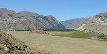
They are best developed just east of the Tyetyo River in the eastern part of the Kuray Basin, but several other smaller fields of giant current ripples also occur there.
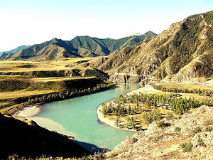
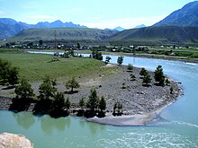
Towards the end of the last glacial period, 12,000 to 15,000 years ago, glaciers descending from the Altai mountains dammed the Chuya River, a large tributary of the Katun River, creating a large glacial lake including the Chuya and the Kurai basins.
[4][5] As the lake grew larger and deeper, the ice dam eventually failed, causing a catastrophic flood that spilled along the Katun River.