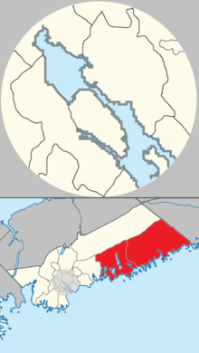
Eastern Shore (Nova Scotia)
It is the Atlantic coast running northeast from Halifax Harbour to the eastern end of the peninsula at the Strait of Canso.
Canso, along with Annapolis Royal, Halifax, and Lunenburg, are some of North America's earliest settlements.
Another railway project was proposed to run between Pictou and the village of Guysborough and on to Canso during the age of sail, when Can-so rivalled Halifax as the most important first port of call in Nova Scotia for westbound trans-Atlantic vessels, as Canso was roughly the same distance by rail from the New Brunswick–Nova Scotia border as Halifax.
During the post-World War II period, the provincial government upgraded local roads, that resulted in the present alignment of Trunk 7.
Approximately 12 kilometres (7.5 mi) inland from the coast is the Eastern Shore Granite Ridge.
[24] The Eastern Shore is a scenic, yet sparsely settled area, hosting dozens of small fishing harbours and communities; in recent decades the region has become home to a growing number of cottages and recreational properties, given the number of unspoiled sandy beaches and dramatic coastlines.
[25][26] The area between Cape Breton-and-Dartmouth is sparsely populated, however, there are more than 300 communities along the Eastern Shore, which vary in size.
Most of the economy along the Eastern Shore is based around fishing, forestry and tourism, with an industrial port in Sheet Harbour as well.
[1] Numerous lumber mills operated here during the early 1900s as Nova Scotia entered the industrial revolution.