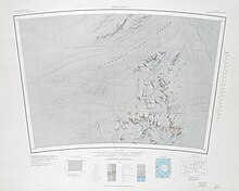
Patuxent Range
It comprises the Thomas Hills, Anderson Hills, Mackin Table and various nunataks and ridges bounded by the Foundation Ice Stream, Academy Glacier and the Patuxent Ice Stream.
[1] The Patuxent Range was discovered and partially photographed on January 13, 1956 in the course of a transcontinental nonstop plane flight by personnel of U.S. Navy Operation Deep Freeze I from McMurdo Sound to Weddell Sea and return.
It was named by Advisory Committee on Antarctic Names (US-ACAN) for the Naval Air Station Patuxent River (at Cedar Point, Maryland) located on the south side of the mouth of the Patuxent River.
The range was mapped in detail by USGS from surveys and U.S. Navy air photos, 1956-66.
In the north, the Thomas Hills run along the south side of the Foundation Ice Stream.