Mountain states
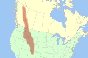
The Mountain states are considered to include: Arizona, Colorado, Idaho, Montana, Nevada, New Mexico, Utah and Wyoming.
These are oriented north-south through portions of the states of Montana, Idaho, Wyoming, Colorado, Utah, and New Mexico.
Most regional boundaries of the Mountain West are often looked at the area from the High Plains to the Sierra Nevada and the Cascade Range.
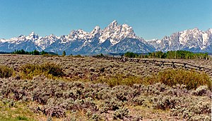
Its physical geography ranges from some of the highest mountain peaks in the continental United States to large desert lands and rolling plains in the eastern portion of the region.
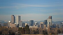
Colorado also has scattered desert lands in the southern and northwestern portions of the state, including the expansive San Luis Valley.
These plains mainly consist of flat rolling land, with scattered buttes, canyons, and forests located in these areas.
Many people view the High Plains as the point where one begins to enter the greater Mountain West region.
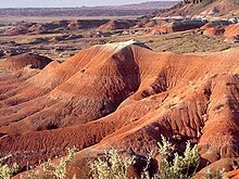
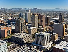
The states of Nevada and Arizona are generally filled with desert lands and scattered mountain ranges.
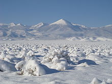
Northern and northeastern Arizona display characteristics of a "High Desert", where the summers are very hot and dry, while the winters can become very cold, and it can snow as well.
Mountain Time is observed in nearly the entire division, except Nevada (all but the stateline city of West Wendover) and the Idaho Panhandle.
Daylight saving time is not observed in Arizona, except for lands within the Navajo Nation (northeast corner of the state) which observe daylight saving time due to the Nation traversing state lines.