South-West Indian Ocean tropical cyclone
In the south-west Indian Ocean, tropical cyclones form south of the equator and west of 90° E to the coast of Africa.
Each year, the Météo-France office (MFR) based on Réunion island issues warnings on tropical cyclones within the basin, which is defined as the waters of the Indian Ocean from the coast of Africa to 90° E, south of the equator.
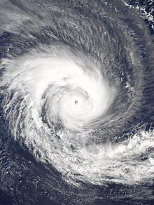
Intensities are estimated through the Dvorak technique, which utilizes images from satellites by the American National Oceanic and Atmospheric Administration.
Originally, the basin only extended to 80° E, and while it was extended eastward to the current 90° E, a lack of satellite imagery initially made data uncertain east of 80° E. The World Meteorological Organization designated the MFR as a Regional Tropical Cyclones Advisory Centre in 1988, and upgraded it to a Regional Specialized Meteorological Center in 1993.
[8] Preliminary results from this reanalysis project include correcting an increasing trend in the number of very intense tropical cyclones in the basin since 1978.
A survey in 2004 conducted by weather expert Gary Padgett found meteorologists split whether these storms should be classified as tropical or subtropical.