Thermal low
Elevated areas can enhance the strength of the thermal low because they warm more quickly than the atmosphere which surrounds them at the same altitude.
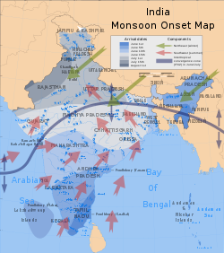
Thermal lows over the western and southern portions of North America, northern Africa, and Southeast Asia are strong enough to lead to summer monsoon conditions.
In deserts, the lack of ground and plant moisture, that would normally provide evaporative cooling, can lead to intense, rapid solar heating of the lower layers of air.
[2][3] During the cold season, (winter), warm water bodies such as the Great Lakes can induce an instability low.
The formation of the heat low over northern Africa leads to a low-level westerly jet stream from June into October.
[14] Monsoons are caused by the larger amplitude of the seasonal cycle of land temperature compared to that of nearby oceans.
Additionally, the specific heat capacity of liquid water is significantly higher than that of most materials that make up land.
[15] Monsoons are similar to sea and land breezes, a term usually referring to the localized, diurnal (daily) cycle of circulation near coastlines everywhere, but they are much larger in scale, much stronger, and seasonal.
Pollution has been tracked into the mid-levels of the troposphere in the form of ozone, which is concentrated over the circulation of the thermal low as well as adjacent oceanic areas.