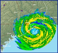
Timeline of the 2008 Atlantic hurricane season
[2] The season officially began on June 1, 2008, and ended on November 30, 2008, dates that conventionally delimit the period of each year when most tropical cyclones develop in the Atlantic basin.
Pre-season forecasts noted a high possibility for an above average number of tropical cyclones, primarily due to lingering La Niña effects and abnormally warm sea surface temperatures across the Atlantic basin.
This timeline documents tropical cyclone formations, strengthening, weakening, landfalls, extratropical transitions, and dissipations during the season.
The time zones utilized (east to west) prior to 2020 were: Atlantic, Eastern, and Central.
Additionally, figures for maximum sustained winds and position estimates are rounded to the nearest 5 units (knots, miles, or kilometers), following the convention used in the National Hurricane Center's products.