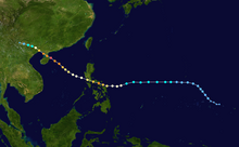
Timeline of the 2014 Pacific typhoon season
Tropical storms that form in the entire Western Pacific basin are assigned a name by the Japan Meteorological Agency.
Tropical depressions that form in this basin are given a number with a "W" suffix by the United States' Joint Typhoon Warning Center.
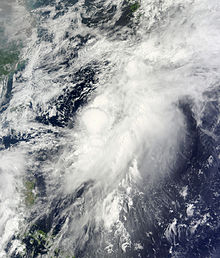
During the first half of the season, it was active with seven storms forming due to a developing weak El Niño, however this failed during August.
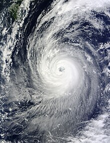
The most active month so far in the season is July; with four storms developing and made landfall, with three of them reaching super typhoon strength.
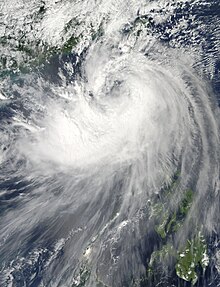
Tropical activity began to rise again during mid-September, although the season became quiet again after the dissipation of Vongfong, with a pause of Nuri's lifecycle.