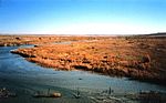
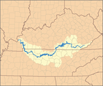
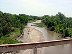
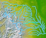
List of longest rivers of the United States
Download coordinates as: The longest rivers of the United States include 38 that have main stems of at least 500 miles (800 km) long.
[1] The United States Geological Survey (USGS) defines a main-stem segment by listing coordinates for its two end points, called the source and the mouth.
Also a segment of the Saint Lawrence River forms the international border between part of the province of Ontario, Canada, and the U.S. state of New York.
"It seems," she said, "that the wisest course is to regard data tables such as the present one as showing the general ranks of rivers, and not to place too much importance on minor (10–20%) differences in figures.
Except in the "States, provinces, and map" column, abbreviations are as follows: "km" for "kilometer", "mi" for "mile", "s" for "second", "m" for "meter", and "ft" for "foot".