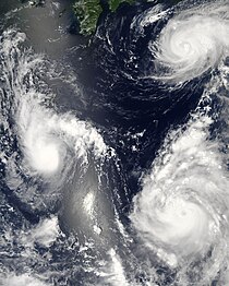
Typhoon Maria (2006)
Maria had only minor effects in Japan, mainly heavy rains which were estimated to have peaked over 400 mm (15.7 in) on the Izu Peninsula.
On August 3, the Japan Meteorological Agency (JMA) began monitoring a tropical depression located to the southeast of Minami Torishima Island.
At 1630 UTC on August 5, the Joint Typhoon Warning Center (JTWC) issued a Tropical Cyclone Formation Alert on the developing system while it was located about 740 km (460 mi) east-northeast of the northern Mariana Islands.
However, the storm was likely to intensify as it was located within an area of low to moderate vertical wind shear with favorable diffulence aloft.
[2] As the JMA issued their first advisory, the JTWC designated the system as Tropical Depression 09W while located about 280 km (175 mi) east-northeast of Iwo Jima.
Along with the dry air, wind shear began to increase[2] and the JMA downgraded Maria to a severe tropical storm early on August 8.
[1][4] Both agencies downgraded Maria to a tropical depression early on August 9, with the JTWC issuing their final advisory at that time.
[2] Maria remained a tropical depression for another 24 hours before transitioning into an extratropical cyclone on August 10[1] while located about 835 km (520 mi) east-northeast of Tokyo.

Tropical storm (39–73 mph, 63–118 km/h)
Category 1 (74–95 mph, 119–153 km/h)
Category 2 (96–110 mph, 154–177 km/h)
Category 3 (111–129 mph, 178–208 km/h)
Category 4 (130–156 mph, 209–251 km/h)
Category 5 (≥157 mph, ≥252 km/h)
Unknown