Geography of Western Sahara
Western Sahara is a territory in Northern Africa, bordered by the North Atlantic Ocean, Morocco proper, Algeria (Tindouf region), and Mauritania.
Geographic coordinates: 24°30′N 13°00′W / 24.500°N 13.000°W / 24.500; -13.000 The size of Western Sahara, a region located in North Africa, is a critical aspect of its geopolitical and environmental profile.
The arid climate and extensive desert areas define much of its landscape, influencing the lifestyle of its inhabitants and the approaches taken by both local and international actors in addressing the territory's status and development.
Situated in the northwest corner of Africa, it is bordered by Morocco to the north and east, Algeria to the northeast, Mauritania to the southeast, and the Atlantic Ocean to the west.
[4] This strategic position places it at the intersection of several historical and cultural exchange routes, which have influenced its development and the broader regional dynamics.
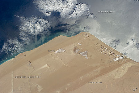
The region's natural resources, including phosphate deposits and potential offshore oil reserves, add another layer of complexity to the geopolitical stakes associated with its size and geography.