Geography of Alabama
South of these highlands, occupying a narrow strip on each side of the Tennessee River, is a country of gentle rolling lowlands varying in elevation from 500 to 800 feet (150 to 240 m).
To the northeast of these highlands and lowlands is a rugged section with steep mountain-sides, deep narrow coves and valleys, and flat mountain-tops.
This is a limestone belt with parallel hard rock ridges left standing by erosion to form mountains.
Although the general direction of the mountains, ridges, and valleys is northeast and southwest, irregularity is one of the most prominent characteristics.
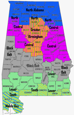
and occupies a small triangular-shaped section of which Randolph and Clay counties, together with the northern part of Tallapoosa and Chambers, form the principal portion.
The valleys in the north and northeast are usually deep and narrow, but in the Coastal Plain they are broad and in most cases rise in three successive terraces above the stream.
Still fairly common are the bobcat, American beaver, muskrat, raccoon, Virginia opossum, rabbit, squirrel, red and gray foxes, and long-tailed weasel.
Alabama's birds include golden and bald eagles, osprey and other hawks, yellow-shafted flickers, and black-and-white warblers.
American black bear, racking horse, yellow-shafted flicker, wild turkey, Atlantic tarpon, largemouth bass, southern longleaf pine, eastern tiger swallowtail, monarch butterfly, Alabama red-bellied turtle, Red Hills salamander, camellia, oak-leaf hydrangea, peach, pecan, and blackberry are Alabama's state symbols.
[3] The heat of summer is tempered in the south by the winds from the Gulf of Mexico, and in the north by the elevation above the sea.
At extremely rare intervals the thermometer has fallen below zero (-18 °C), as was the case in the remarkable cold wave of the 12th-13 February 1899, when an absolute minimum of −17 °F (−27 °C) was registered at Valley Head.
North of this is the inner lowland of the Coastal Plain, or the Black Prairie, which includes some 13,000 square miles (34,000 km2) and seventeen counties.
North of the mineral region is the Cereal Belt, embracing the Tennessee Valley and the counties beyond, whose richest soils are the red clays and dark loams of the river valley; north of which are less fertile soils, produced by siliceous and sandstone formations.
The hills just east of downtown showcase the eroded remains of the five-mile (8.0 km) wide impact crater that was blasted into the bedrock, with the area labeled the Wetumpka crater or astrobleme ("star-wound") for the concentric rings of fractures and zones of shattered rock can be found beneath the surface.
[5] In 2002, Christian Koeberl with the Institute of Geochemistry University of Vienna published evidence and established the site as an internationally recognized impact crater.