Geography of North Dakota
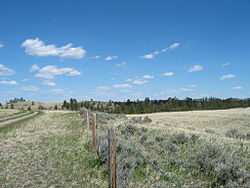
The geography of North Dakota consists of three major geographic regions: in the east is the Red River Valley, west of this, the Missouri Plateau.
The valley contains the lowest point in North Dakota which is the Red River at Pembina, at 750 feet (230 m) above sea level.
The Drift Prairie is bordered on the north by the Turtle Mountains and separated from the Red River Valley by the Pembina Hills.
The Badlands are exposed surfaces of stone and clay that erosion has shaped into striking formations; many shades of browns, reds, grays, and yellows appear in buttes, pyramids, domes, and cones.
White Butte, the highest point in North Dakota, is located in the Badlands, and stands 3506 feet (1069 m) above sea level.