Tropical cyclone naming
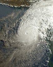
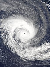
Once storms develop sustained wind speeds of more than 33 knots (61 km/h; 38 mph), names are generally assigned to them from predetermined lists, depending on the basin in which they originate.
When Wragge retired, the practice fell into disuse for several years until it was revived in the latter part of World War II for the Western Pacific.
Formal naming schemes have subsequently been introduced for the North Atlantic, Eastern, Central, Western and Southern Pacific basins as well as the Australian region and Indian Ocean.
[9] Names are generally assigned in order from predetermined lists, once they produce one, three, or ten-minute sustained wind speeds of more than 65 km/h (40 mph).
[3] Within the Southern Hemisphere, systems must be characterized by a significant amount of gale-force winds occurring around the center before they are named.
[11] Within the North Atlantic Basin, tropical or subtropical storms are named by the United States National Hurricane Center (NHC/RSMC Miami), when they are judged to have 1-minute sustained winds of at least 34 kn (39 mph; 63 km/h).
[2] Members of the committee are allowed to request the retirement or replacement of a system's name if it causes extensive destruction or for other reasons such as number of deaths.
[2] Since 1963, PAGASA has independently operated its own naming scheme for tropical cyclones that occur within its own self-defined Philippine Area of Responsibility.
[4] However, if the system weakens into a deep depression and subsequently reintensifies after moving into the region, then it will be assigned a new name.
[5] Systems are named in conjunction with Météo-France Reunion by either Météo Madagascar or the Mauritius Meteorological Service.
[5] Within the Australian region in the Southern Hemisphere between 90°E – 160°E, a tropical cyclone is named when observations or Dvorak intensity analysis indicate that a system has gale force or stronger winds near the center which are forecast to continue.
[6] Outside of these areas, the Australian Bureau of Meteorology names systems that develop into tropical cyclones.
[6] A replacement name is then submitted to the next World Meteorological Organization's RA V Tropical Cyclone Committee meeting.
[6] If a system intensifies into a tropical cyclone between the Equator – 10°S and 90°E – 141°E, it will be named by the Badan Meteorologi, Klimatologi, dan Geofisika (BMKG/TCWC Jakarta).
[6] If a system intensifies into a tropical cyclone between the Equator – 10°S and 141°E – 160°E, then it will be named by Papua New Guinea National Weather Service (NWS, TCWC Port Moresby).
When a system develops into a tropical cyclone below 10°S between 90°E and 160°E, then it will be named by the Australian Bureau of Meteorology (BOM/TCWC Melbourne).
[6] A replacement name is then submitted to the next World Meteorological Organization's RA V Tropical Cyclone Committee meeting.